ESA satellites document Nepal flood damage as new missions prepare for launch

The European Space Agency documented flooding in Nepal with satellite imagery while preparing two new Earth observation missions for launch.

By Middle East Affairs
September 7, 2026
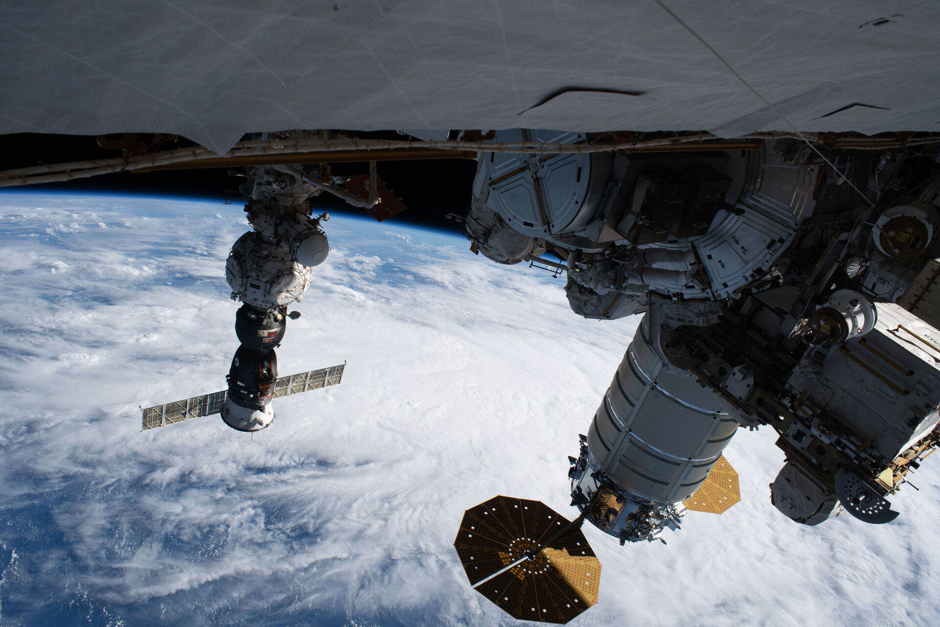
Multiple spacecraft modules and components are docked to the International Space Station, with Earth's curved horizon and cloud formations visible below.
The International Space Station orbits above Earth, equipped with various modules used for scientific research and Earth observation. Satellites like those operated by the European Space Agency monitor natural disasters such as flooding from orbit. (ESA — Space News)
1 min read
Text size

The European Space Agency's Sentinel-2 satellite captured before-and-after images of flash flooding in Nepal during the week of August 31 to September 4, 2026, documenting the extent of damage across the region.

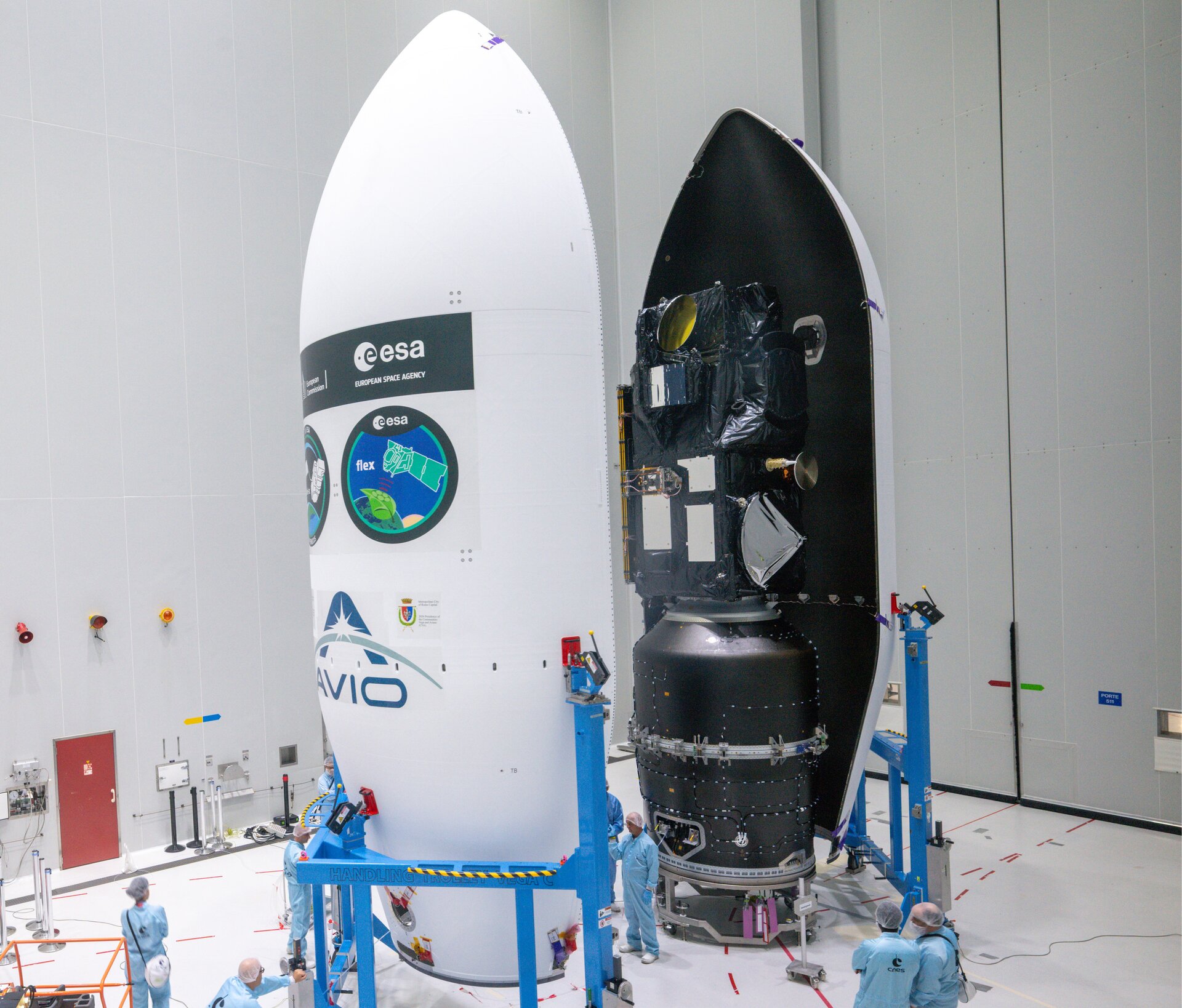
At the same time, the ESA completed preparations for two Earth observation missions: FLEX and Sentinel-3C were sealed for launch operations. Daniel Neuenschwander and Julien-Alexandre Lamamy attended a MAGPIE signing ceremony related to the launch preparations.

The ESA uses satellite imagery to monitor natural disasters and environmental changes. Sentinel-2 and other Earth observation satellites in its fleet provide data to governments and disaster response agencies worldwide.

ESA satellites document Nepal flood damage as new missions prepare for launch | Middle East Affairs