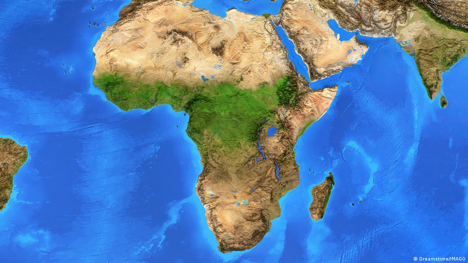
The UN General Assembly voted on Friday, September 4, to support a shift away from the Mercator projection, used since the 16th century, toward a map that more accurately represents the true sizes of countries and continents. The initiative was sponsored by the African Union and Togo, with backing from France, aimed at countering perceptions that place Africa in a marginal position. The resolution passed with 164 votes in favor, one vote against from the United States, and six abstentions.
The resolution would expand Africa's apparent size and reduce that of the United States, which prompted the American opposition. Yara Stein, the U.S. representative to the UN, argued that such decisions and the "ideological agendas" behind them "undermine the work of this institution and lead to its loss of credibility." She added that the General Assembly should focus on actual stakes for global peace and prosperity rather than debating 16th-century map projections.
The Mercator projection distorts relative sizes of landmasses by enlarging regions near the poles, making Greenland appear roughly the same size as Africa despite Africa being about 14 times larger. The resolution encourages use of the Equal Earth projection instead, which displays continents more accurately. Robert Dussey, Togo's foreign minister, told Reuters before the vote: "A just world begins with a just map."
Togo's Foreign Ministry clarified that the resolution is not legally binding and does not question Mercator's use for maritime and aviation navigation, where it remains suitable. The Mercator projection is attributed to geographer and cartographer Gerardus Mercator, who developed it in 1569 to solve a practical navigation problem by allowing straight lines to correspond with compass bearings, though this preservation of direction came at the expense of area accuracy.
Dussey said Togo hopes to revise its school geography materials by year's end and plans to meet with African Union members and supporters from other regions over the next six months to promote wider adoption of Equal Earth. He indicated these discussions should involve companies that manage maps, GPS systems, and other location-based technologies.
Dussey linked the campaign to broader African efforts to address the colonial legacy, while emphasizing it does not target Europe or any other civilization but is "guided by a global ambition to deepen knowledge based on scientific accuracy and respect for truth and equality in dignity among peoples." The widespread use of Mercator, he said, is a result of the colonial era.