The UN General Assembly will vote Friday on a resolution calling for governments, schools, international organizations and technology companies to adopt equal-area map projections instead of the Mercator projection. The resolution does not seek to ban the Mercator projection outright, but aims to establish more geographically accurate maps as a new global standard.
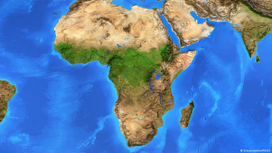
The Mercator projection, widely used globally, increasingly distorts area the farther a region lies from the equator. Africa, located largely in equatorial zones, appears much smaller than its actual size, while Europe, North America, Greenland and Russia appear much larger than they actually are. Africa is roughly 14 times larger than Greenland but appears similar in size on Mercator maps.
Togo's Foreign Minister Robert Dossé announced that his country submitted the resolution with support from the African Union. In a briefing to the African group at the UN this week, Dossé said the issue extends beyond geography alone. "Maps are never neutral—they shape perceptions and affect understanding of the place of peoples and continents in the world, and can entrench, sometimes from early education, perceptions that do not match geographic reality," Dossé said.
Togo hosted a reception for all UN member states ahead of the vote, and Dossé urged African delegations to broaden support for the resolution. When asked whether he expected opposition, Dossé said he was seeking the widest possible consensus.
A petition launched under the hashtag #CorrectTheMap gathered roughly 11,000 signatures before the vote. The African Union endorsed the campaign in August 2025 and asked Togo to lead efforts to adopt it at the UN.
Historians and geographers have long argued that the Mercator projection reflects Western assumptions about the world. Some activists have used the term "cartographic colonialism" to describe what they say are the negative effects of how the map represents the sizes of continents and countries.