UN General Assembly approves text on map projections

The UN General Assembly adopted a text addressing distortions in commonly used world map projections, particularly the Mercator projection.

By Middle East Affairs
September 6, 2026
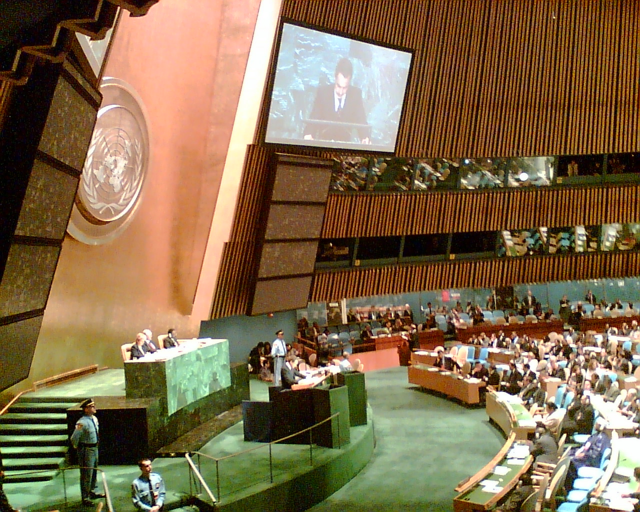
The interior of the United Nations General Assembly chamber showing delegates seated in tiered sections, with a podium on the left, a large UN logo on the wall, and a video screen displaying a speaker.
Ilustrasi. The UN General Assembly chamber, where member states gather to debate and vote on global issues, approved a resolution addressing distortions in world map projections commonly used in education and media. Photo: azugaldia / Wikimedia Commons (CC BY 2.0)
1 min read
Text size

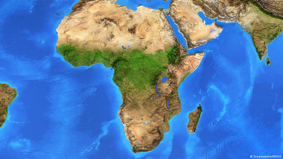
The General Assembly adopted a text intended to address distortions in widely used world map projections, particularly the Mercator projection. The Mercator projection, long a standard for navigation and geographical representation, represents landmasses at the equator as smaller relative to their actual size compared with regions at higher latitudes. Africa and other equatorial regions are among those affected by this distortion.

The resolution also proclaimed a decade of culture for sustainable development and designated a day for the elimination of child marriage, according to the General Assembly's agenda for the session.
UN General Assembly approves text on map projections | Middle East Affairs